


Real-Time Data Processing
Accelerate geospatial computations with Apache Arrow for real-time data rendering and analysis.
Navigation isn’t just a feature — it’s in our nature. We are an expert team of engineers who leverage software and spatial intelligence to bring clarity to business chaos.
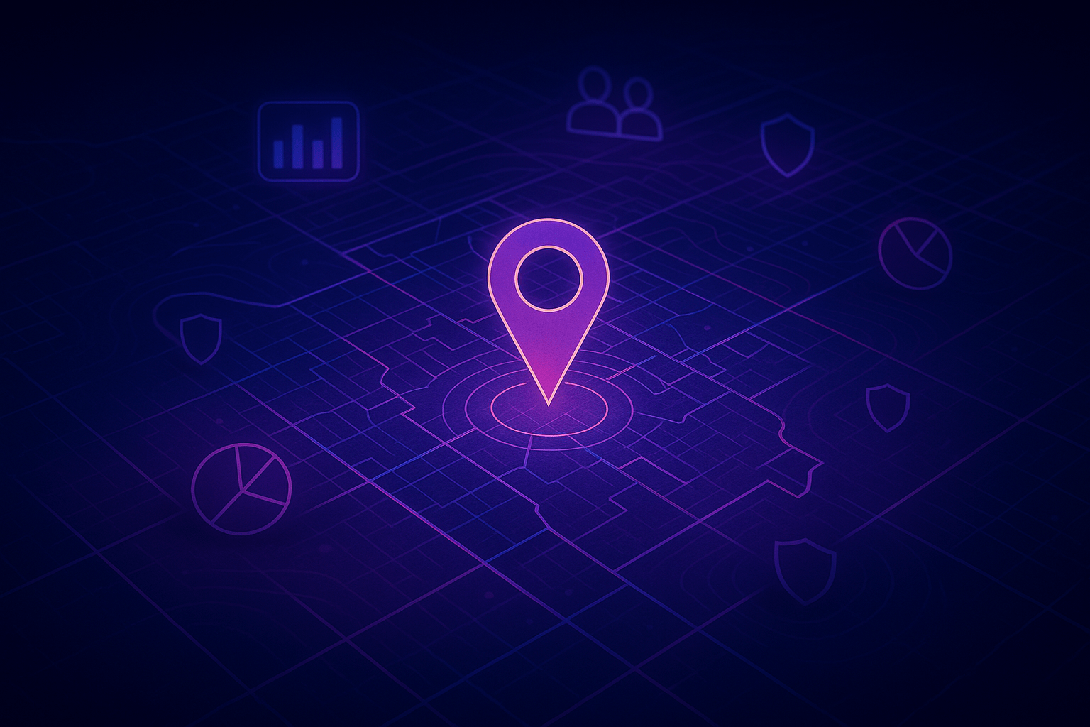
Amid the flood of modern information, geospatial technologies illuminate the hidden relationships and patterns that transform raw complexity into meaningful understanding and decisive action.
Our team connect data to maps, melding geodata (i.e. where things are) with all types of description information (i.e. what things mean), providing the basis of the geographic context that improves efficiency, management, and decision-making.
We safely and reliably store and aggregate information from your business systems and other authoritative sources of record.

From digital maps to dashboards, we bring your data to life, helping you generate insights and solve real problems.

Using cutting-edge, battle-tested technologies, we communicate complex ideas instantly, at unimaginable scales.
We power smarter decisions everywhere — from emergency response and supply chains to urban development and environmental stewardship.
Streamlining supply chains- Monitor shipments, inventory, and risk in real time with geospatial precision.
Targeting civic strategy- Visualize voter segments, canvassing zones, and turnout patterns at scale.
Empowering agriculture- Track fields, assess yields, and overlay crop and weather insights instantly.
Building resilient communities- Model risk, land use, and growth to guide equitable, climate-aware planning.
After many, painstaking years tunneling around digital labyrinths, we’ve emerged uniquely equipped to navigate your evolving business toward clarity and unquestionable prosperity.
Accelerate geospatial computations with Apache Arrow for real-time data rendering and analysis.
Experience a superior, user-friendly interface designed for effortless navigation and interaction.
Optimize your operational costs with scalable solutions tailored to meet expanding geospatial data demands.
Gain deep insights into spatial patterns with analytics engineered specifically for GIS applications.
Streamline your GIS operations with automation tools that simplify complex mapping processes.
Effortlessly combine and manage geospatial data from multiple sources for a unified mapping experience.